Apalachicola River Paddling Trail System
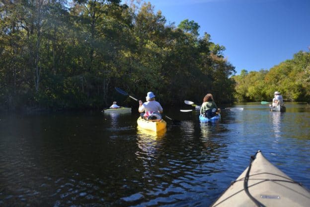
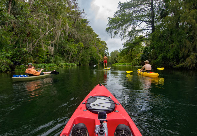
The Apalachicola River Paddling Trail System is actually broken into 11 separate smaller trail sections. Paddlers at all levels of ability will enjoy these 11 canoeing and kayaking trails - nearly 100 miles through the swamps of the Apalachicola River. Distances range from short, easy trips to multi-day river trips flowing into open bays of the Gulf of Mexico.


The Florida Circumnavigational Saltwater Paddling Trail (The CT)
The premiere Mac-daddy thru-paddling trail in Florida is the 1550-mile, Florida Circumnavigational Saltwater Paddling Trail, or the "CT" for short. There are 26 segments of the CT. Franklin County's portion of the CT is located in sections 4 and 5, the Forgotten Coast and Crooked River. (And yes, the two Franklin County sections of the CT are also part of the Big Bend Saltwater Paddling Trail.) Confused? Us too, but Florida's Greenways and Trails website can explain how it all connects.
The Florida Paddling Trails Association
Identifies several paddling trails within Franklin County. The Apalachicola Bay segment winds along the coast and features several barrier islands and bay. The Ochlockonee segment features eastern Franklin County paddling opportunities including the Carrabelle River, Crooked River and Bald Point State Park.


Apalachicola National Forest
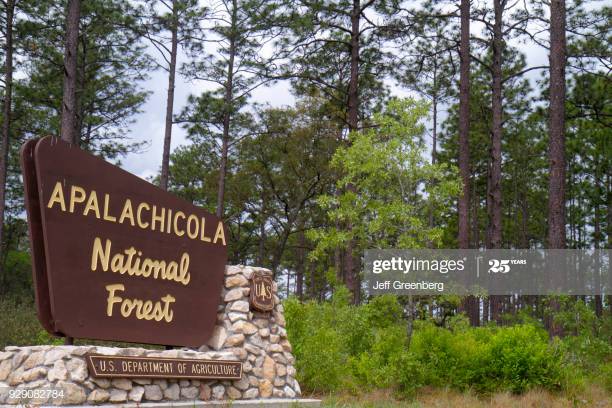
The Apalachicola National Forest is the largest forest in Florida at 571,088 acres. Nearly 3,000 acres of that is water. Six watersheds within the Apalachicola provide an abundance of fresh water streams, rivers, lakes, and natural springs. Within the forest, there nine unique wilderness areas that feature more than 20 camping and non-motorized boat access launches to the rivers, lakes and streams in the forest. Remote waterways await the avid paddler looking for a multi-day journey through the Apalachicola National Forest following the winding Sopchoppy River or the remote New River. Paddlers can also explore the banks of the Apalachicola River, and use a canoe or kayak for a closer look at the major lakes on the forest, including Wright Lake, Silver Lake, and Camel Pond.
